


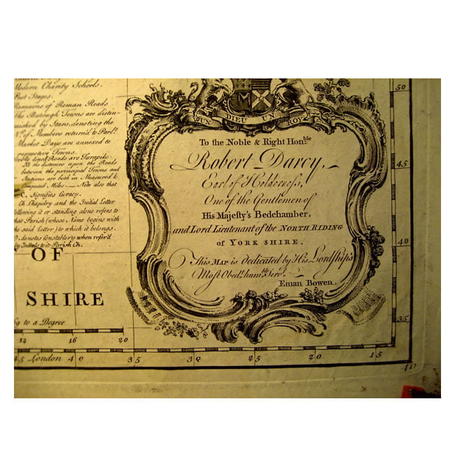
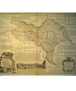
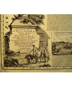
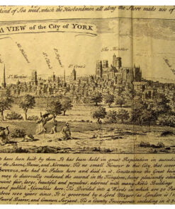
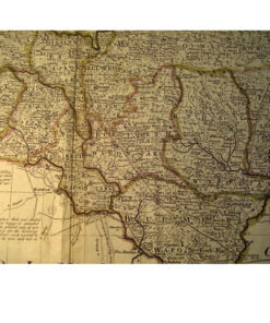
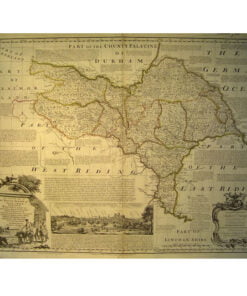
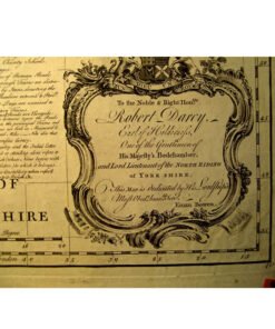
Emanuel Bowen (d 1767) was an English mapmaker and publisher as well as a printseller. He made a prolific contribution to the historical map archive, and here we have a wonderful example of his county map series – “North Yorkshire”. It comes from “The Large English Atlas” T Bowles edition 1763. Note all the wonderful cartouche detail. He used landowners to sponsor his work and this accounts for much of the written additions to the map which was always a feature of his work. It was once used by the Militia, hence the appended catalogue number top right. It is unframed.
Related products
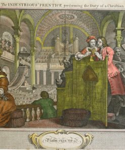
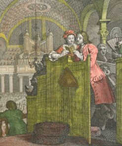
Selection of Antique Pictures, including Maps, and other Antiques
Hogarth’s Modern Moral Series, Industry and Idleness, Plate 2
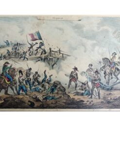
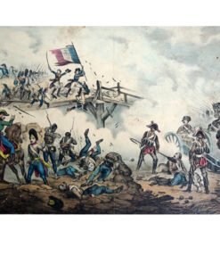
Selection of Antique Pictures, including Maps, and other Antiques
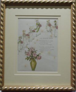
Selection of Antique Pictures, including Maps, and other Antiques
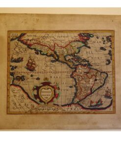
Selection of Antique Pictures, including Maps, and other Antiques
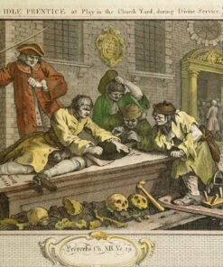
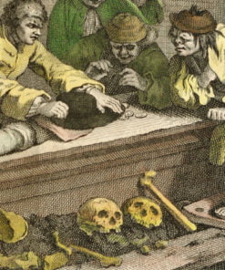
Selection of Antique Pictures, including Maps, and other Antiques
Hogarth’s Modern Moral Series, Industry and Idleness, Plate 3.
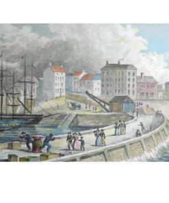
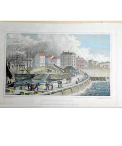
Selection of Antique Pictures, including Maps, and other Antiques
Selection of Antique Pictures, including Maps, and other Antiques
Selection of Antique Pictures, including Maps, and other Antiques